Geosites and Geotrails
WHAT ARE GEOTRAILS?
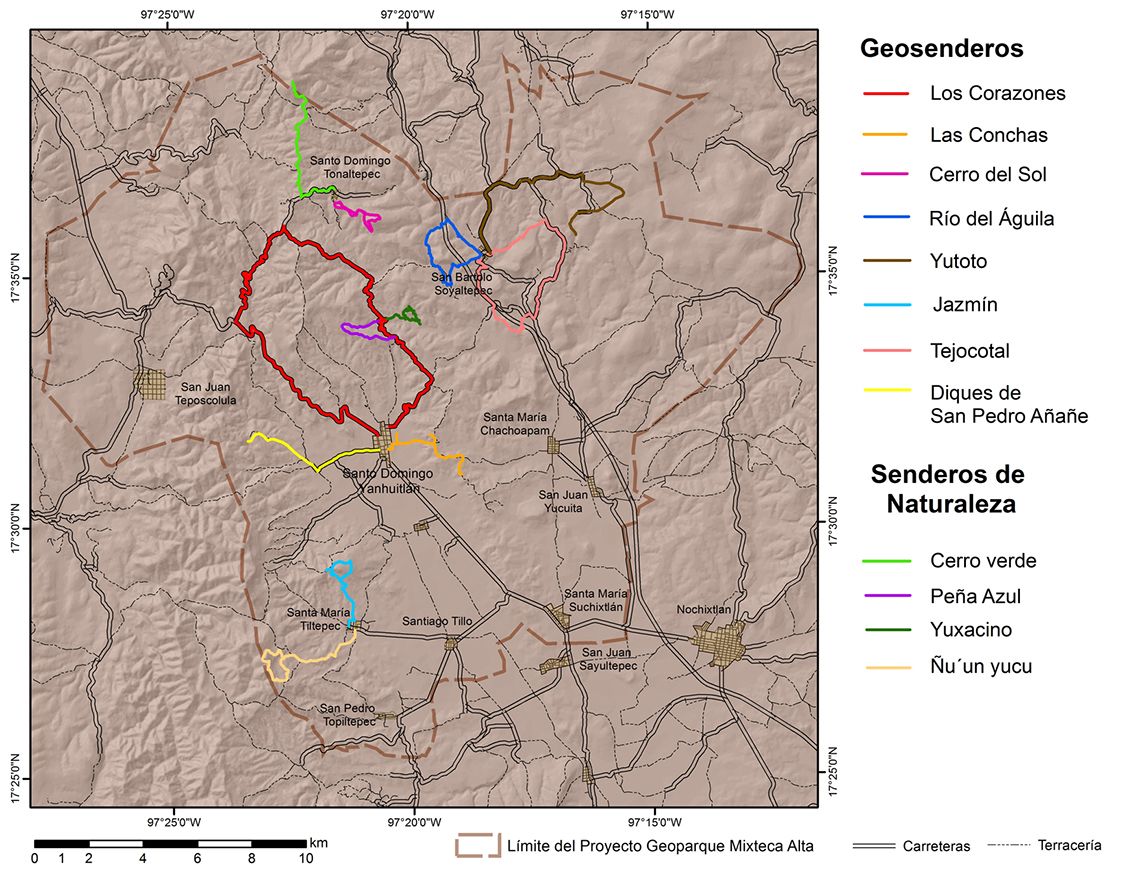
The trail allows the visitor to discover thematically interconnected sites which are complementary to each other, so that the visitor, along the route, learns a coherent history and not an isolated knowledge of each of the sites visited. In this way, the trails are a didactic resource focused on the popularization of geoheritage and a service that enriches the geotourism offer for the benefit of visitors and the local communities in which they are located.
NOTE:
Tours are conducted in local vehicles with a maximum capacity of 10 people. The maximum number of participants in each tour is 20 people. In all cases, the tours are led by local guides.
Longest route in the geopark, lithological contacts, lamabordos, plutonic structures, viewpoints.
Badlands, gullies and erosional cirques in the Yanhuitlán Formation, paleosols and alluvial forms, archaeological ruins.
Panoramic views of the Llano de Lobos Tuff, lithological contacts and local faults.
Lithological contacts, erosional cirques and lamabordo, volcanic lithology.
Karstic landscapes, lamabordos, limestone quarries, fossils and archaeological remains.
Main archaeological site in the Geopark; alluvial archives, paleosoils and fluvial forms and panoramic views of the Yanhuitlán Valley
Outcrops of the Llano de Lobos Tuff, lithological contacts, main geological units, viewpoints of the valleys.
Lamabordos, plutonic structures, gullies and badlands.
Route to the highest altitude of the Mixteca Alta, continental watershed, gullies, badlands, plutonic structures and archaeological sites.
Panoramic view of the Yanhuitlán, Yucuita and Nochixtlán valleys; main geomorphological units, well-preserved forests and a variety of orchids (in season).
Alluvial profiles and local faults. Collection of edible insects.
Well-preserved oak forests, panoramic views of the Yanhuitlán Valley, bird watching and a variety of orchids depending on the season.
Geosites
Geosites are sites of geological interest representative of the geoheritage of the geopark. There are 35 identified geosites, although others that have been identified are under study.
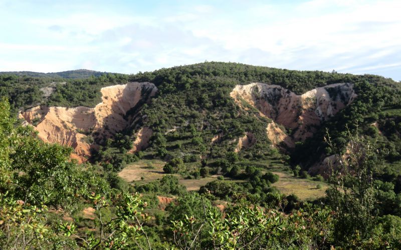
Mirador de los dos corazones
Mass removal processes, erosive cirques, gullies and lamabordos.
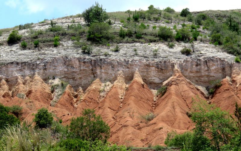
Sta. María Pozoltepec viewpoint
Lithological contours of main units: Yanhuitlán- Toba Llano de lobos Formation.
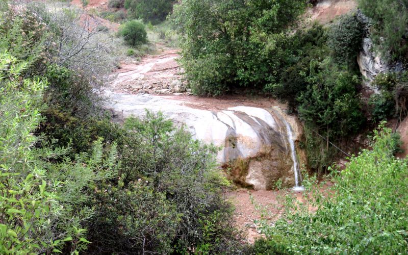
Sta. María Pozoltepec Waterfall
Dikes, contact metamorphism, structural control of rivers.
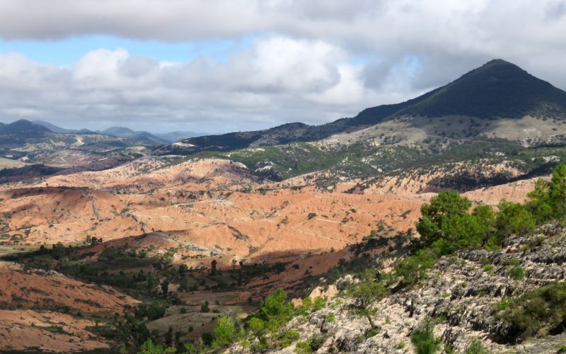
Vista Hermosa Viewpoint
Badlands, dykes, contact between physiographic provinces.
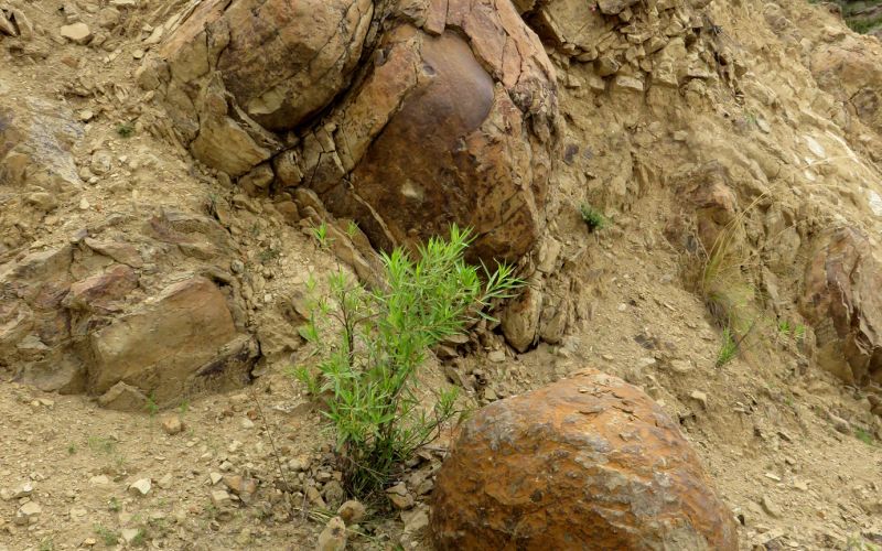
Andesite Yucudaac
Exfoliation, spheroidal weathering.
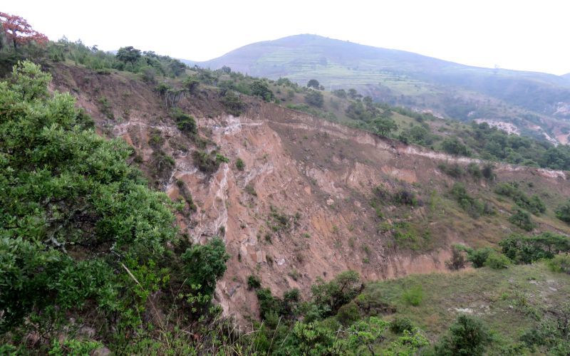
Yucuita landslides
Processes of mass removal, landslides and lamabordos.
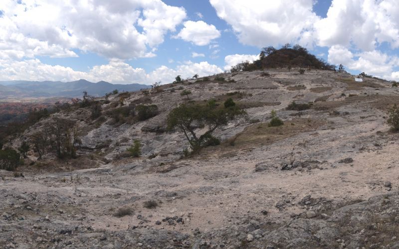
Nochixtlán and Yanhuitlán valleys viewpoint.
Gullies, badlands, regional faults and lamabordos systems.
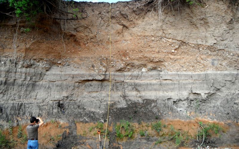
Yanhuitlán River
Alluvial files and paleosoils.
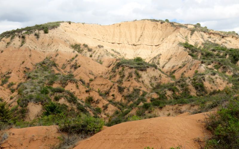
Las Conchas Site
Landslide processes, erosional cirques, gullies and lamabordos.
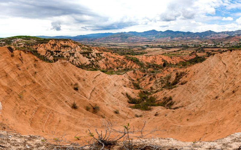
Las Conchas viewpoint
Gullies, badlands, regional faults, exocarstic features and lamabordos systems.
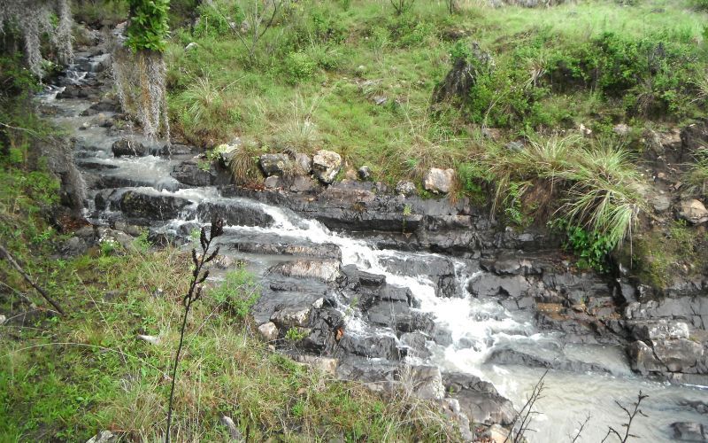
Peña Azul Prisms
Lava structures, waterfalls.
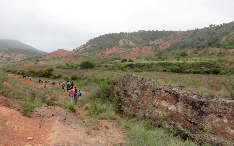
San Pedro Añañe dykes
Dikes and sill, differential erosion, gullies, badlands, regional faults and lamabordos systems.
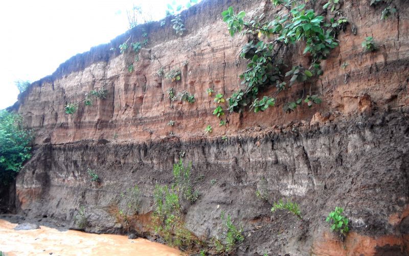
Yanhuitlán river alluvial archives.
Alluvial archives, paleosoils and lamabordos.
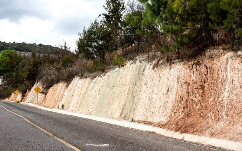
Río Verde Site
Lithological contacts of main units, tectonics, regional faults.
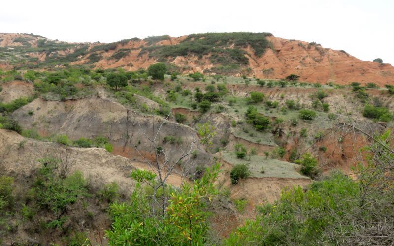
Yanhuitlán Valley Viewpoint
Landslide processes, erosional cirques, gullies and badlands, lamabordos systems.
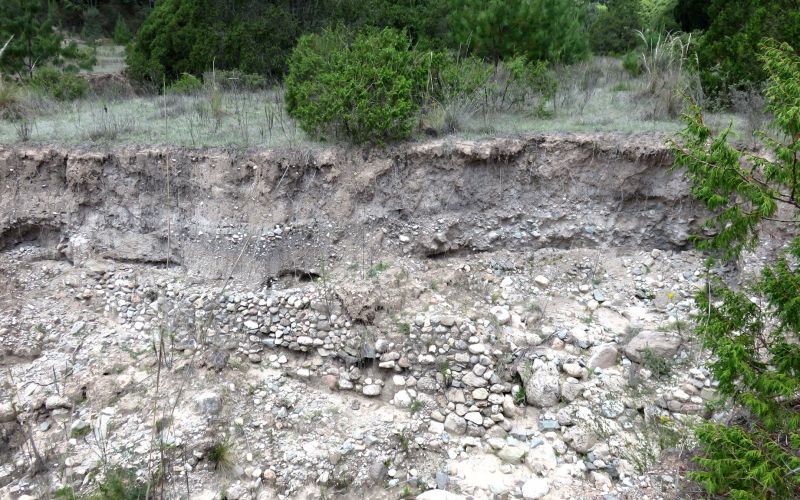
Yudayo Site
Eroded lamabordos and alluvial deposits.
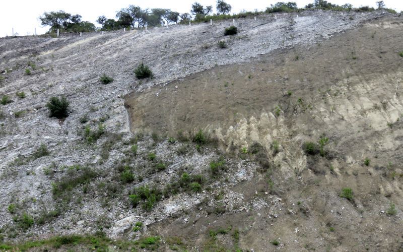
San Isidro and Suchixtlahuaca Site
Lithological contacts of main units and intrusive bodies.
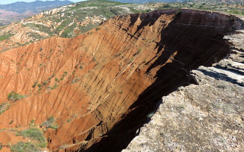
Boquerón Site
Landslide processes, erosional cirques, gullies and lamabordos.
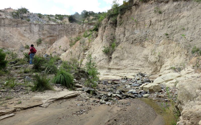
Yuxacino Site
Paleontology (mammoths), alluvial deposits.
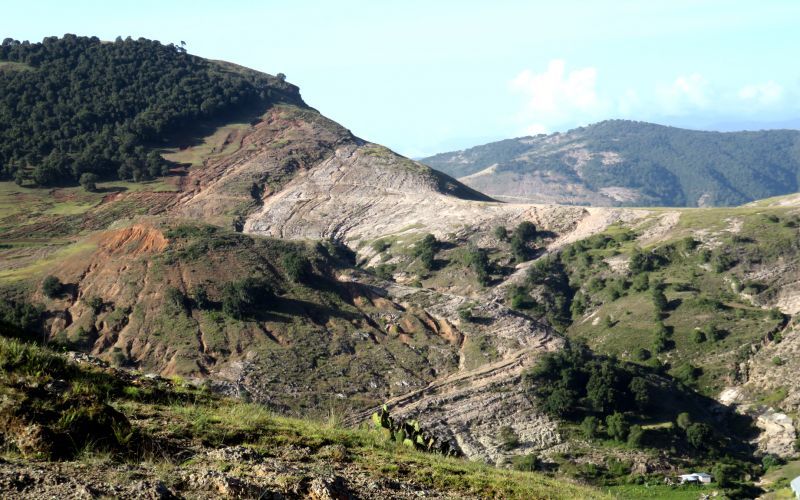
Tonaltepec Viewpoint
Gullies, badlands, regional faults and lamabordos systems.
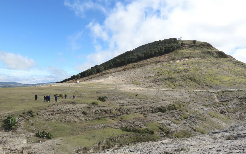
Cerro del Sol (Yucunchi)
Lithological contacts of main units, tectonism, regional faults.
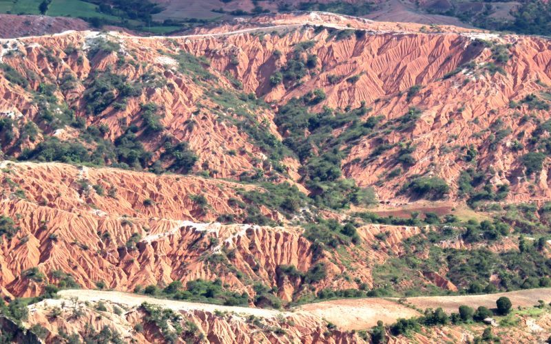
Cerro Verde
Continental watershed.
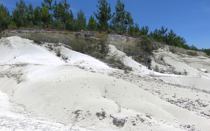
Dequenini Site
Lithological contacts of main units.
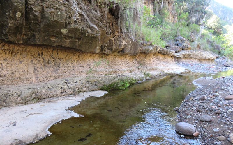
Eagle River
Lithological contacts of main units, fluvial forms and tectonism.
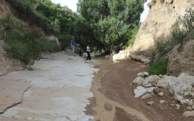
Yutzateche river
Lithologic contacts, base of the stratigraphic column (Cretaceous-Paleogene).
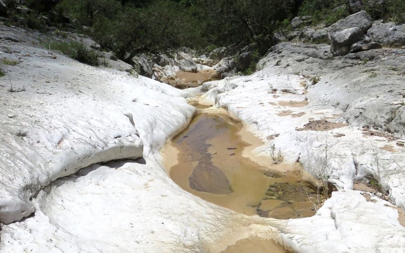
Yutoto site
Endo- and exocarstic features and fluvial features.
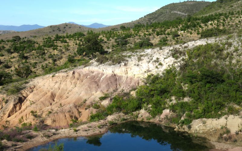
Guadalupe Gavillera Agency Site
Karstic features: lapiaz, caves, Cretaceous fossils.
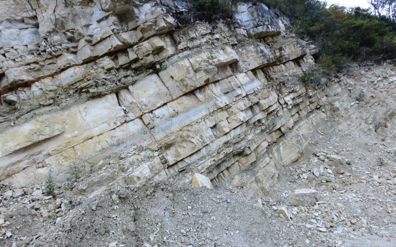
Limestone quarry
Limestones.
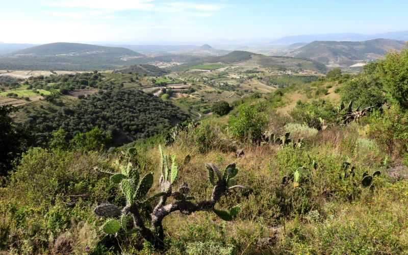
San Isidro Tejocotal viewpoint.
Main geomorphological units of the geopark.
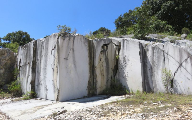
Teposcolula Limestone Quarry
Abandoned quarry, limestone blocks.
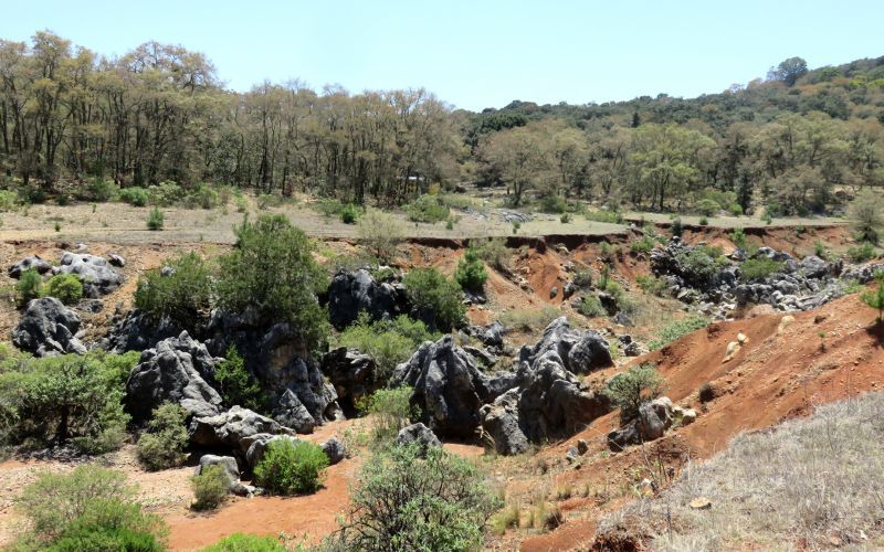
La Laguna site
Karstic features: lapiaz, caves, terra rossa.

Yutzateche site
Lava structures.
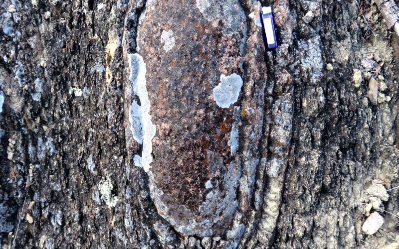
Yucudaac site
Exfoliation, spheroidal weathering.
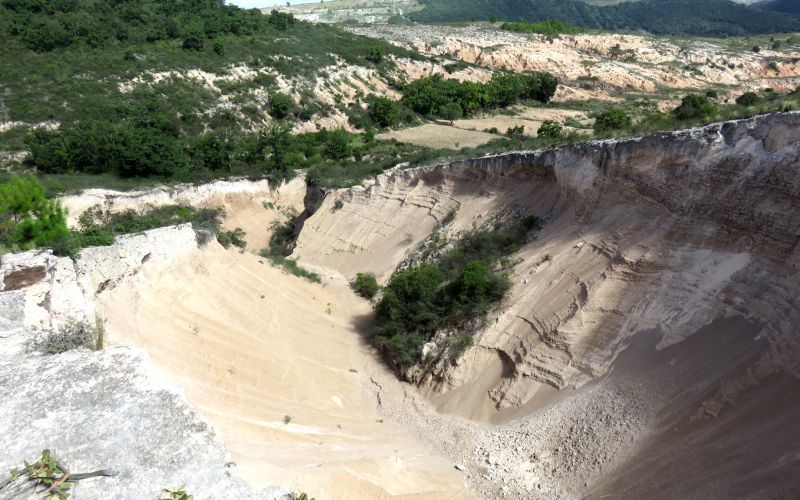
Cerro Corneta site
Mass removal processes, erosive cirques, gullies and lamabordos.
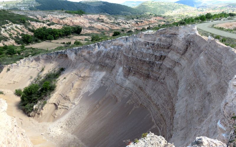
Caballo Blanco site
Mass removal processes, erosive cirques, gullies and lamabordos.
